Researchers at the University of Skövde have developed an indicator that shows how good a landscape is at supporting and enhancing biodiversity. The indicator provides people such as planners, landowners and conservationists with support when deciding upon how land can be best used and determining which natural habitats are present in a landscape.

Biodiversity can be described as a web of genes, species and ecosystems, and it is of key importance to our survival through so-called ecosystem services. Carbon binding that slows global warming, water purification that gives us clean drinking water, and pollination that allows us to produce food are just a few examples of these services. Biodiversity is, however, severely threatened by us humans. It is being depleted – not just globally, but also in Sweden.
Preventing biodiversity loss
In order to first stem the loss of biodiversity and then reverse the trend, not only research and knowledge are required, but also practical tools. These tools can help planners, landowners, conservationists and others to make decisions about how our land can be used sustainably.
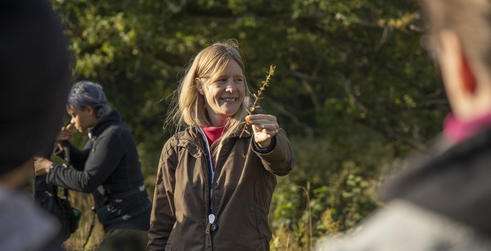
Sofia Berg is an adjunct senior lecturer at the University of Skövde, and also works as an environmental consultant at EnviroPlanning AB. Together with Annie Jonsson, who is an associate professor at the University’s School of Bioscience, she is developing such a tool.
“It is clear that there is a great need for tools that can help different industries to gain an overview of the entire landscape and to see how it is affected in the context of physical planning. This could, for example, involve detailed plans, wind power installations or a variety of development projects, but it is also useful in conjunction with the creation of nature reserves”, explains Sofia Berg.
Provides answers to important questions
The tool is based on a mathematical algorithm, and is called the Biotope Biodiversity Capacity Indicator. It uses geographic input data from collaborating partners and other databases, such as the national land-coverage database. The geographic data includes information about the size, position and quality of the various habitat territories in the landscape, and data from ecological expertise concerning the ability of species to survive and spread is also used.
The tool generates a value that indicates how good the landscape is at supporting and enhancing biodiversity. By means of further analyses in the tool, the user can also see how different planned changes would affect the landscape’s ability to support biodiversity. According to Annie Jonsson, the tool provides answers to a number of important questions.
“These include which territories, on a landscape level, contribute most to biodiversity, which areas are the most important for maintaining species distribution, which areas are most suitable for restoration measures, and how the overall capacity of the landscape to support biodiversity is affected by changes in land use.”
Tested by the County Administrative Board of Västra Götaland
The tool is in demand by authorities, municipalities and various companies, including those working with forestry and electricity supply. Although not yet fully developed, it has attracted major interest. One authority that has tested the tool is the County Administrative Board. Henrik Roos is a biologist at the County Administrative Board of Västra Götaland. There they have been testing the potential impact on biodiversity of a proposed restoration project in the Valle area.
“The biodiversity indicator is a concrete example of how we have been able to apply research. We have identified areas that are suitable for restoration back to open, tree-bearing grasslands, and the indicator has enabled us to immediately see which result we would achieve”, says Henrik Roos.
Collaboration provides better tools
Next in line to have their say on the tool are urban planners from the municipalities of Götene, Lidköping and Mariestad, who will participate in a workshop aimed at increasing both researchers’ and planners’ understanding of how the tool can be developed and used to enable effective application. According to Annie Jonsson, collaboration is key to the creation of a good tool, as this enables access to specific data for different case studies that can be tested and to which the tool can be applied.
“We have been able to present and discuss the results directly with the users, and we have acquired both input and understanding about how to proceed, and how to explain the tool and visualise the results. This means that our research will be able to be put to use more quickly.”
The project has been funded by the Swedish Environmental Protection Agency.


